
Geography Grad Lands Position at Bay Area Precision Ag Firm
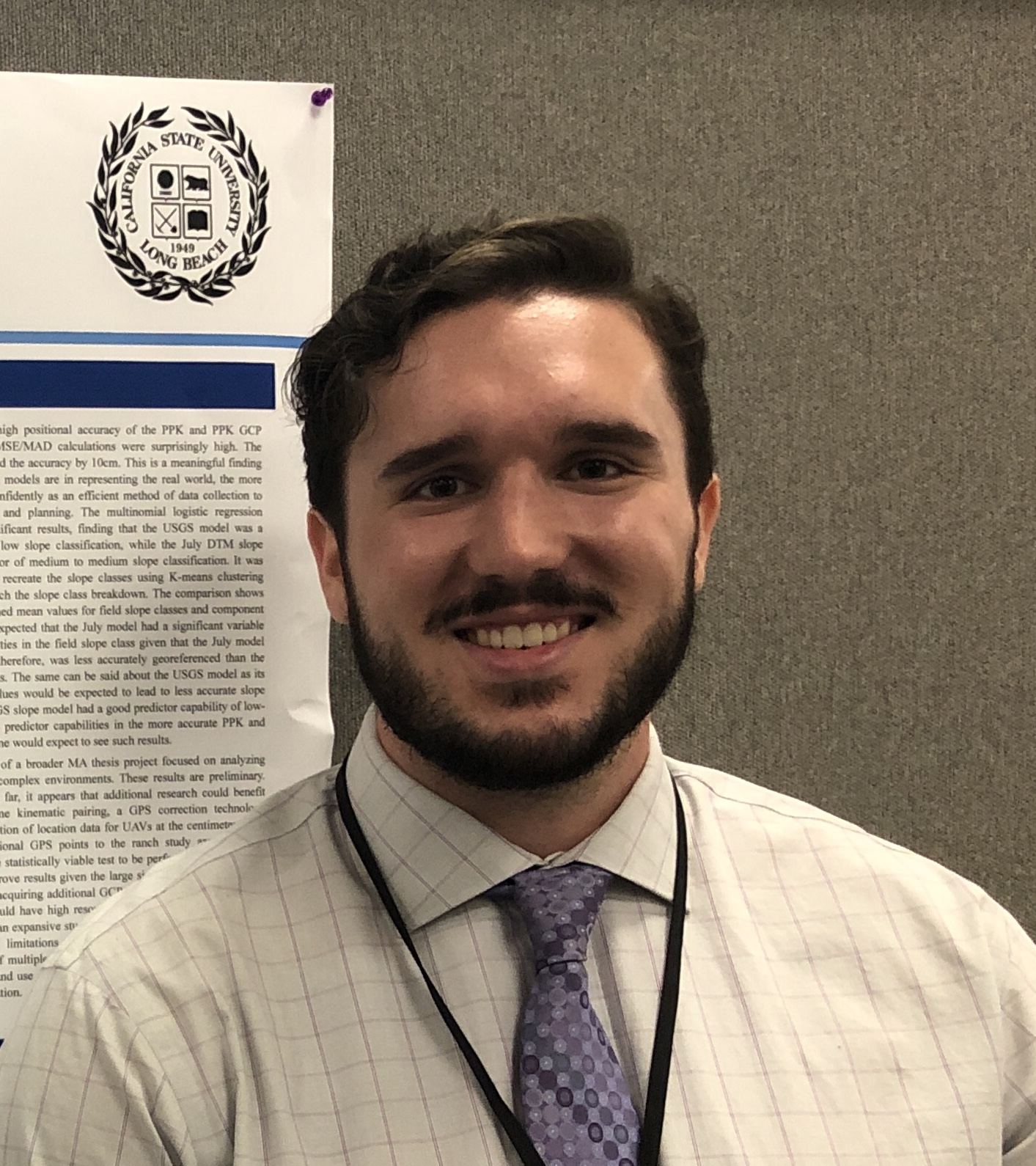 CSULB Geography is proud to announce that another one of our graduates is putting their degree to work. Last week, news arrived that recent graduate Duncan MacIntosh accepted a position as GIS/Remote Sensing Analyst with Ceres Imaging in Oakland, California. MacIntosh, who recently relocated to the West Coast from his home state of Rhode Island, received his MA in Geography in July 2019 and promptly began his search for a career in the field of his specialty, that being Remote Sensing and Geospatial Techniques. In recent email correspondence, Duncan admitted that his decision to accept the position at Ceres came only after a good bit of consideration, but it is now evident that he is quite satisfied with his decision. “One of the things that the company liked about my resume was all the drone work” said MacIntosh, who further indicated that the firm is looking into using drone-mounted sensors to generate custom aerial imagery for precision agricultural applications. Once settled into his position, he expects that his day-to-day duties will include performing quality assessments and multispectral analysis using aerial imagery of agricultural land across the U.S. West Coast and Mid-West, as well as Australia. The results of these analyses will form the basis of recommendations that will be provided to growers to assess crop stress, pest activity, overall plant health, and irrigation application.