
Day 10: If we knew what we were doing, it wouldn’t be called research
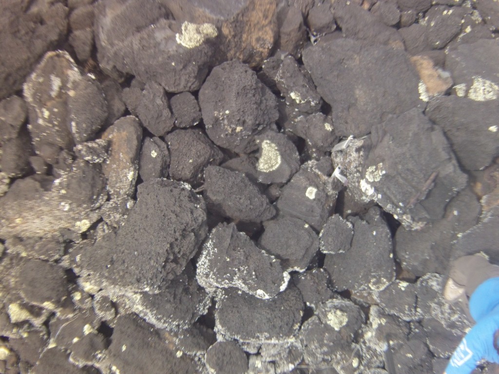
June 21, 2012Today, the agriculture group (with the help of the vegetation group) began tackling the heiau project. We flew both the remote controlled plane and the kite to obtain some aerial imagery. John, Sam and I tried to obtain our own images by taking photos from a small camera on the top of a huge pole. The goal was to photo-synth the images together to create one giant orthophoto. Unfortunately, it was rather difficult to take the picture… The image often caught me on camera or were blurred from the winds. The images were also small and warped since the camera was a fish-eye lens only a few feet off the ground; capturing the entire area would be incredibly time consuming. Although our makeshift camera probably will not help us in mapping the heiau, we did learn a lot from the process.
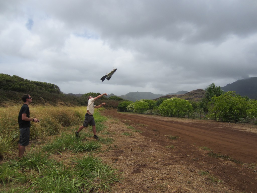
After another beach lunch, we helped two University of Hawaii students fly the plane and kite over the vegetation grid and sinkhole. It’s really exciting when the plane takes off successfully, especially since more times than not the engine fails to start or the wind hinders the plane from flying. You can see the beginning of a successful flight in the image below! The kite was towed by the pickup truck across some agricultural fields. Hopefully, these fields will be the launch site for the Gatewing X100 over these next few days. This expensive plane has it’s own launcher and completes automatic flyovers without the use of a remote controller.
The agriculture group was in charge of making dinner tonight, so when we got home we planted ourselves in the kitchen. Our orange chicken was delicious and the clean-up was easy since we basically cleaned up as we cooked. We had a fun night hanging out and are looking forward to spending the day in the research center to get a handle on our individual projects.