Day 3
June 13, 2012Today we had a lecture on the hydrology portion of the Kauai REU from Matt Becker. It seemed like this portion of the trip would be exciting and interesting. I think this will be my second choice for the “group” I want to be in. After that Dr. Wechsler gave us a review on using raster images in GIS. Then Briton taught us how to use eCognition! This was really much more intuitive than EDRAS. I am very excited to learn to use this software for more advanced projects. I can think of many applications for this in my research at at MSU.
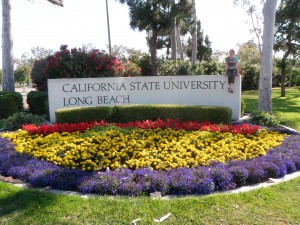
We then did another exercise with PhotoScan where we used actual data that the UAV gathered in Easter island last summer to make a orthophoto. Although we could not export the data we generated we used Dr. Wechsler’s file to begin creating GIS data. We then did a raster analysis exercise with Dr. Wechsler which was a great review of Spatial Analyst tools, limitations, and capabilities. I was excited to be using data I created to make a DEM. I can see how this capability could save researchers tens of thousands of dollars by eliminating the need to purchase data from third party companies. After class I then began my attempt to use photography to create a PhotoSynth image. I took many pictures from many angles and distances but it failed to create an useable 3D image on the website. While this frustrates me I know that I can learn from my mistakes and make better images in the future. During our search for the perfect object to synth a couple of us took pictures by the CSLUB sign. Mine is below.