
Day four in Kauai
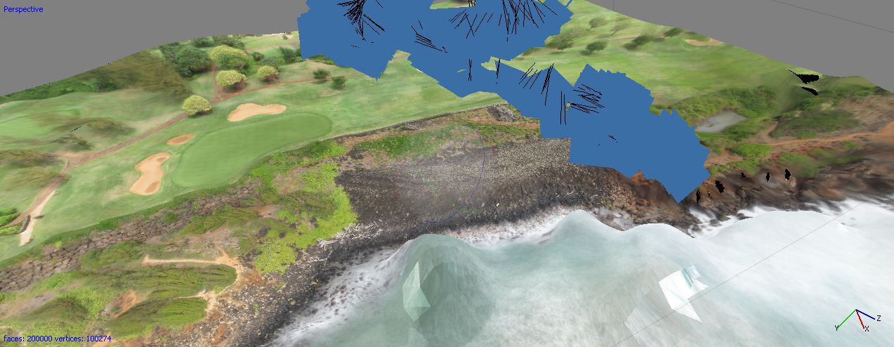
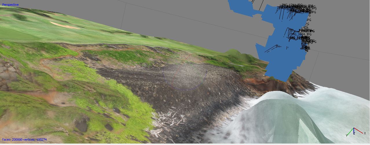
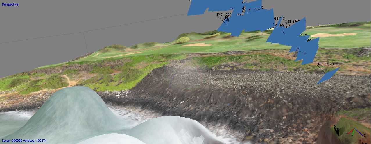
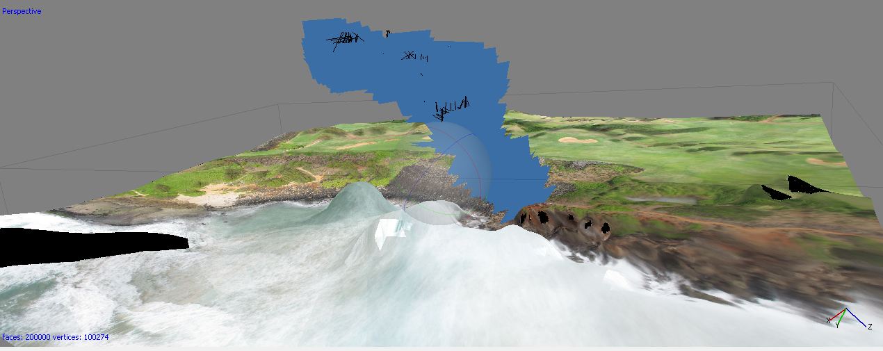
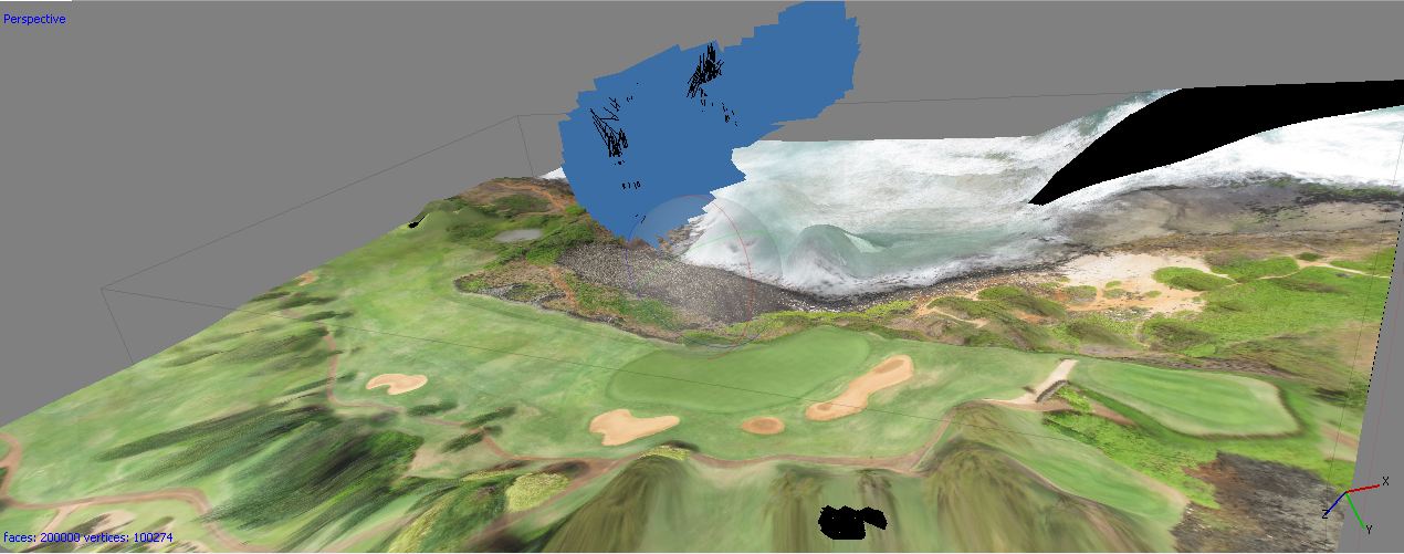
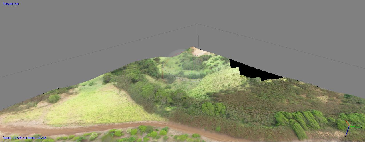
June 22, 2012We started off today going to the NTBG center, where we worked on some data analysis. Paul did a tutorial in uploading and downloading data to and from the Trimbles, respectively. I was able to make an orthophoto of the heiau by the sinkhole in Photoscan from the kite-aerial-photography. Here’s some pictures from it:
Around 12:30 pm, the archaeology team (minus John) went and did some recon on potential new sites. We first checked out an abandoned field behind St. Raphael’s Church, where we could see the irregular agriculture polygons within the field from the ground. We took points here for future geo-referencing on the Trimble. Then we went to another heiau, the Koloa Field System, and took points and recorded the perimeter on the Trimble.
Once we were all done, Dr. Wechsler treated us all to ice cream/shave ice. No it is not shaved ice here in Kauai, it is shave ice. THANKS DR. WECHSLER!!
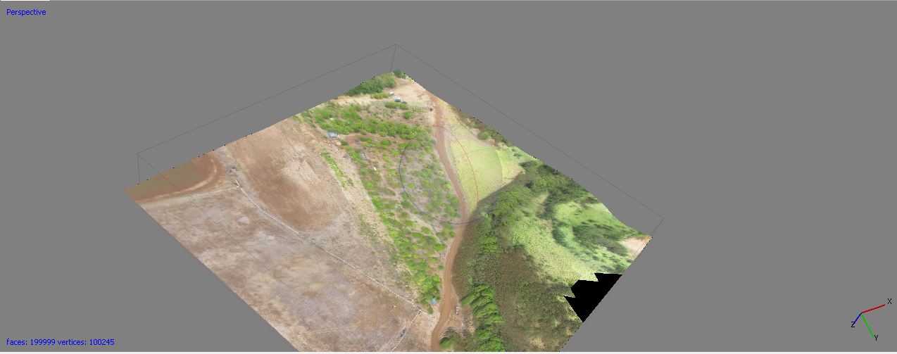
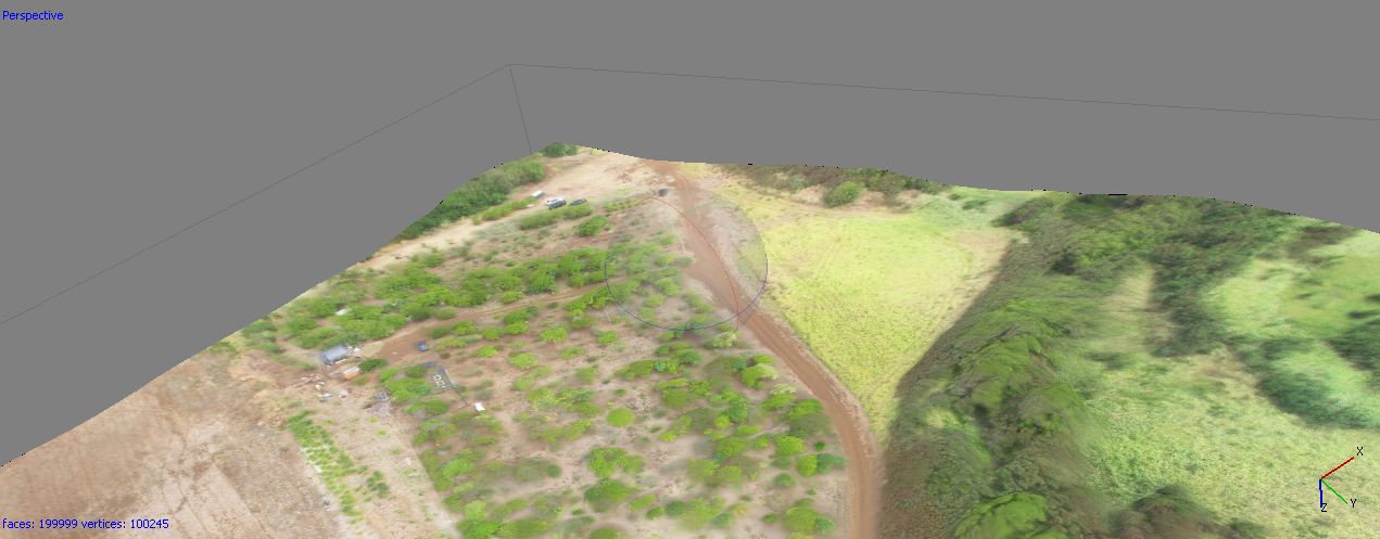
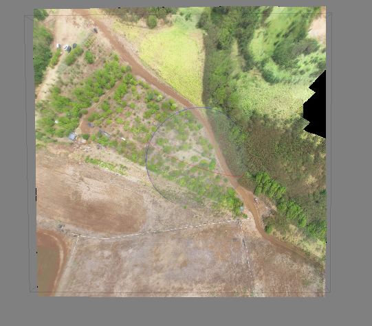
Later when I got home I finished up another orthophoto, also done by kite-aerial-photography, of the vegetation grid. I posted some pictures above. Tomorrow we should be working on some more imagery of these new areas and also the quarry by the sinkhole using the Gatewing X100.
Goodnight everyone!